
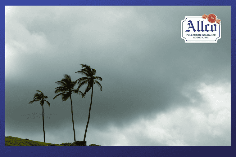
Ocean temperatures continue to rise across the central and eastern equatorial Pacific, while atmospheric changes are reinforcing the climate pattern.
California could face a wetter and stormier winter as a strengthening El Niño influences weather patterns across the U.S., according to federal forecasters and the Farmers’ Almanac.
The National Weather Service’s Climate Prediction Center reported that El Niño is strengthening. Ocean temperatures continue to rise across the central and eastern equatorial Pacific, while atmospheric changes are reinforcing the climate pattern.
Meanwhile, the Farmers’ Almanac 2026-27 winter outlook forecasts varying weather conditions across the country. The outlook includes a wetter, stormier southern tier, periods of snow and bitter cold across the North, and a combination of rain, sleet, ice, and heavy wet snow in the Northeast.
Wetter Winter Forecast for California
The Farmers’ Almanac forecasts heavier-than-normal precipitation for California as an active southern storm track brings more storms to the state.
Frequent systems could produce periods of heavy rain, along with occasional mixed precipitation and snow when colder air moves into California.
Southern California is expected to experience particularly frequent storm systems. However, generally mild temperatures could result in more precipitation falling as rain instead of snow in some mountain areas.
The Pacific Northwest, meanwhile, could experience a more variable and less dependable snow season.
El Niño Influences Southern Storm Track
The Farmers’ Almanac expects El Niño to remain an important influence through the heart of winter, supporting wetter-than-normal conditions across much of the southern U.S.
An active storm track could extend from Southern California and the Desert Southwest through Texas, the Gulf Coast, and the Southeast. These regions could experience frequent storm systems and occasional periods of colder air.
When colder air meets moisture, some storms could bring sleet, freezing rain, or heavy wet snow. The southern Rockies could also receive substantial mountain snowfall.
Winter Conditions Across the U.S.
The Northern Rockies and Northern Plains are expected to record near-normal temperatures overall, although fast-moving systems could bring sudden cold snaps, snow, and blustery conditions.
The South Central region is forecast to have a wetter-than-normal and stormy winter, particularly as systems move through Texas and the Gulf Coast. Colder air could occasionally change precipitation to sleet, freezing rain, or snow.
In the Great Lakes, Ohio Valley, and Midwest, cold and snowy periods could alternate with milder conditions. Fast-moving clippers could bring snow squalls, gusty winds, and bursts of bitter cold. Frequent freezing and thawing could also quickly change road conditions.
The Southeast is expected to be cool, wet, and stormy. Farther north, the Northeast and New England could experience a mix of rain, sleet, freezing rain, and snow. Inland areas could receive several rounds of heavy wet snow, particularly in January and February.
The Farmers’ Almanac expects some of the heaviest precipitation along two main tracks: one extending from California through the southern U.S. and another along the Eastern Seaboard.
With the possibility of a wetter and stormier winter ahead, now is a good time to make sure your home is prepared for severe weather. Check your roof and gutters, trim trees and branches near your property, inspect windows and doors for potential leaks, and make sure drains and outdoor areas are clear before the first major storm arrives. It’s also a smart time to review your homeowners insurance to understand what is—and isn’t—covered when it comes to water damage, wind, falling trees, and other storm-related losses. Give Allco Insurance a call today to review your coverage and make sure your home is ready for whatever the winter weather may bring.